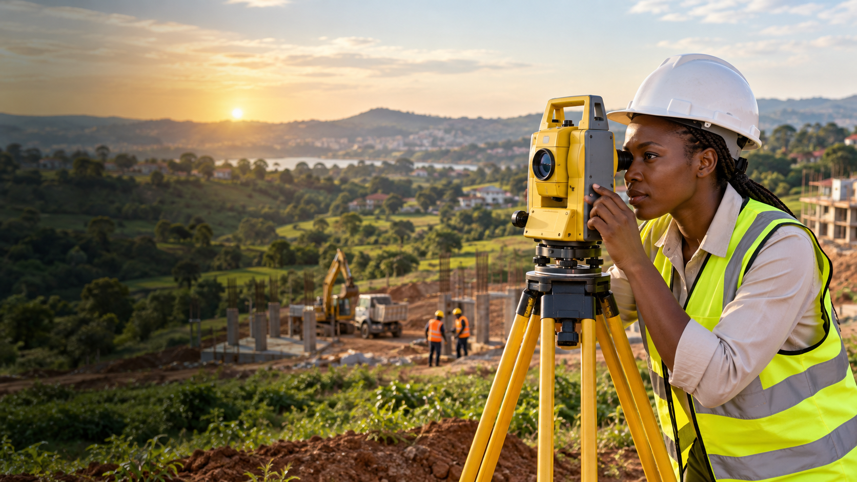
Surveyors & engineering consultants
Measure with
confidence.
Field-led expertise for land, property and infrastructure—from the first boundary point to the final professional report.
What we do
From field data
to clear decisions.
Engineering Surveying
Setting out, as-built surveys and precise control for infrastructure and construction.
02Topographic Surveying
Accurate terrain, feature and level data for confident planning and design.
03Cadastral Surveying
Boundary identification, subdivision and land documentation handled with care.
04Land & Property Valuation
Evidence-led valuations for transactions, finance, insurance and planning.
05GIS & Remote Sensing
Spatial data, mapping and earth-observation insight for better decisions.
06Environmental Consultancy
Practical environmental guidance integrated into project delivery.
Why ATTM
Precision that stands up in the real world.
Good surveying is more than coordinates. It is sound judgement, careful fieldwork and a report that helps every stakeholder move forward.
Client perspective
“ATTM gave us clear field information, practical advice and documentation our whole project team could rely on.”
Development Project Manager, Kampala property developer
Have a site or boundary question?